Things to Do Near Port Allen and on Kauai's West Side
Hours, prices and access verified by the Kauai Sailing Tours team — last checked 2026-09-28.
A day on the water leaves you half a day on land. Before you plan a day of
sailing in Kauai, know which places near the harbour are open, and which the storm
has closed for now.
What is open on Kauai after Hurricane Lowell (updated 28 September 2026)
State parks on Kauai, 28 September 2026. DLNR's notice
said Kokee Road was closed until further notice, all camping on Kauai was closed, and every Kauai state park except part of Wailua River State Park was closed. The Na Pali park and Polihale had been closed since
4 September 2026. The boats do not need the parks: the best
time to sail covers the storm and the restart.
The boats and the parks answer to different rules. The water off the coast has no gate, so a
sailing trip does not need the park open. The trails, the canyon road and the beach parks do.
If you booked a state park reservation for a closed day, DLNR says you get an automatic
refund, minus the service charges. Check the notices page the evening before any land plan. It
changes as roads and trails are cleared.
Before or after a Port Allen sail
Every Na Pali boat leaves from Port Allen Marina Center in Eleele, on Hanapepe Bay. Your
nearest town is Hanapepe, just across the bay and the river. It sits on Route 50, 17 miles west
of Lihue and 6 miles short of Waimea.
Hanapepe is one of the few towns on Kauai that sugar plantations did not create. Its name
means "crushed bay" in Hawaiian, which may point to old landslides nearby. A slow walk and a late
lunch there suit the afternoon after a morning sail, when you will be tired and salty.
Waimea town is the next stop west. From there the road climbs to the canyon, when it is
open.
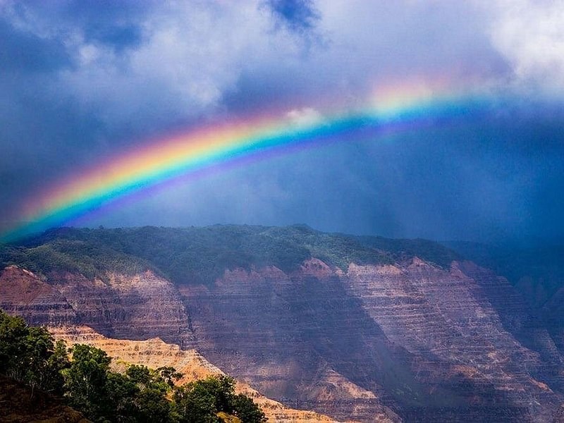
A rainbow over the red and green walls of a deep canyon
Waimea Canyon and Kokee
DLNR describes Waimea Canyon as a deep, colourful gorge, seen from a scenic drive and a row of
lookouts. One of them looks out to Niihau. Higher up, Kokee State Park looks into the Kalalau
Valley from the top, with forest trails and camping.
Both are closed for now. On 28 September 2026, Kokee Road was shut until further notice. Even
before the storm, the main canyon lookout had been closed for safety works since July 2025, with
roadworks and limited parking.
When the road reopens, the canyon suits the morning of a sunset-cruise day. Leave a wide
margin before your check-in: roadworks slowed the drive even before the storm.
The Na Pali Coast on foot
By land, only the eastern end of the coast is open to you. The Kalalau Trail starts inside
Haena State Park, at the far end of the north-shore road. It runs 11 miles to Kalalau Beach.
Entry: visitors who are not Hawaii residents need a park entry reservation,
US$5 a person, and a parking reservation, US$10 a vehicle, bought before they arrive.
The first valley: the entry reservation covers the walk to Hanakapiai
Valley, 2 miles in.
Beyond it: you need a Na Pali camping permit, US$35 a night for
visitors, and they sell out months ahead in summer.
Services: there is no drinking water, no trash service and no phone signal
in the park.
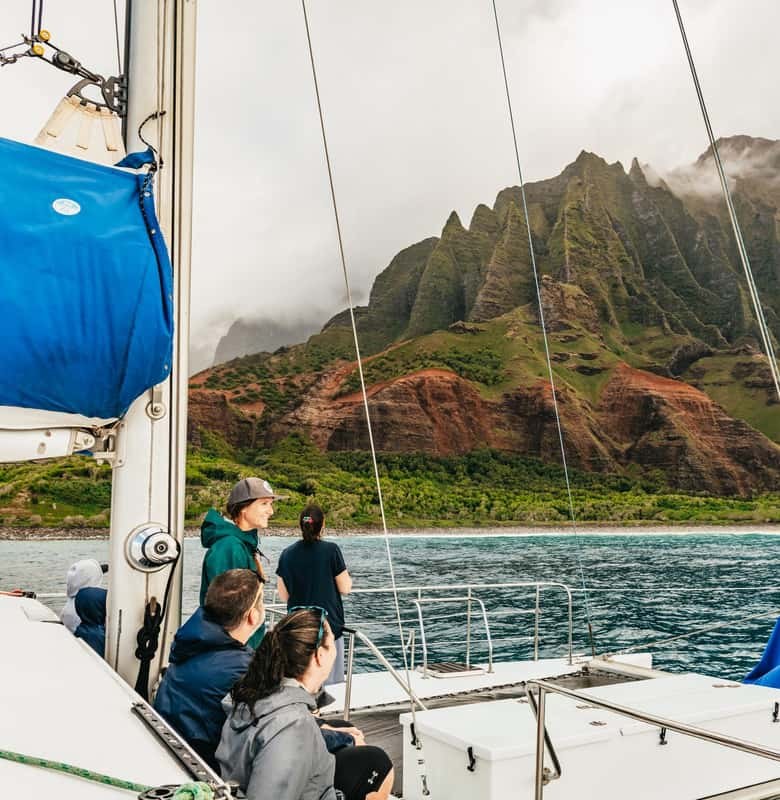
The west half of the coast has no trail at all. You see it by boat or from the air, which is
why the boats run full.
Polihale, the end of the road
Polihale State Park is the last beach west, where the Na Pali cliffs begin. DLNR warns that the
road in is an unimproved dirt road that can flood and become impassable. It recommends four-wheel
drive, and rental companies may not allow their cars on it.
The beach is long, hot and dry, with dunes behind it. Swimming is for calm summer days only,
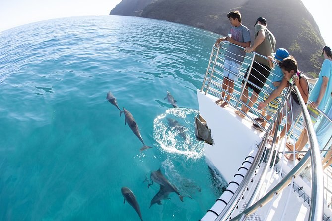
and the state warns of strong offshore currents. The morning snorkel sails pass this coastline on
the way out, so you can see it from the boat without the drive.
Near Nawiliwili: the Huleia River and the fishpond
If your cruise leaves from Nawiliwili Small Boat Harbor, you are on the east side, close to
Lihue Airport. Just inland, the Huleia River bends around the Alekoko Fishpond, also called the
Menehune Fishpond.
Its 900-foot wall stands at a bend in the river. It is thought to date from the 15th century
and has been on the National Register of Historic Places since 1973. Tradition credits the
Menehune, a legendary people, with building it.
The 90-minute bay cruise goes up the river past the pond and the wildlife refuge beyond it.
That is the easy way to see both, with a drink in hand.
A west-side day, three ways
Your day
Morning
Afternoon
Evening
Morning snorkel sail
Check in at Port Allen early; on the water about five hours, breakfast and lunch aboard
Hanapepe town, a short drive west; rest, you will be salty and tired
Dinner near your hotel
Na Pali sunset cruise
Hanapepe, or the beach near your hotel
Drive to Port Allen for the afternoon check-in
Dinner aboard, back after dark
Bay cruise at Nawiliwili
Anything on the east side; the airport is close
A beach near the harbour
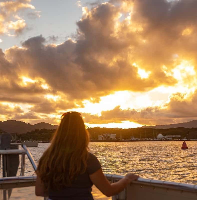
Ninety minutes on the bay at sunset, drinks aboard
Book the boat first, early in your stay, and fit the land around it. If the sea cancels your
trip, you want a spare day to go again.
Planning the day around the boat?
Morning snorkel sails, Na Pali sunset dinner cruises and the Nawiliwili bay cruise, compared on hours, meals and price.
Not on 28 September 2026: DLNR said Kokee Road was closed until further notice, and the canyon park was among the Kauai state parks still closed. Before the storm, the main canyon lookout had been closed for safety works since July 2025. Check the DLNR notices before you drive up.
Can I hike to the Na Pali Coast instead of taking a boat?
Only the eastern end, and only when the parks reopen. The trail starts inside a reservation-only park, and beyond the first valley you need a camping permit. A boat shows you the whole coast in one morning or evening.
What is there to do near Port Allen?
Hanapepe is next door, on the far side of the bay. Waimea town is six miles past it on Route 50, and the canyon road climbs from there when it is open. Most people pair a morning sail with a slow afternoon.
Are Kauai state parks open after Hurricane Lowell?
On 28 September 2026 most were not. Kokee Road was closed until further notice, all camping on Kauai was closed, and every Kauai state park except part of Wailua River State Park was closed. Storm-closure reservations are refunded automatically, minus service charges.
Is there anything to see near the Nawiliwili harbour?
Yes: the Huleia River and its old walled fishpond are just inland of the harbour. The bay cruise goes up the river past the pond at sunset, so you can see it from the water.
Where these facts come from
The closures, the trail rules and the fees are DLNR's own pages, checked 28 September 2026. The town and the
fishpond facts are from Wikipedia. What each cruise passes is from its own listing.
Five and a half hours on a 60-foot catamaran from Port Allen, checking in at 6:45 a.m.: breakfast treats, a reef snorkel with gear, a waterslide and a sandwich lunch, with an open bar for over-21s. Children from age 3.
Four and a half hours from Port Allen on a sailing catamaran: appetisers on the way out, dinner on board and a champagne toast at sunset. Cancel free up to 7 days ahead.
Ninety minutes from Nawiliwili on the bay and up the Huleia River at sunset, with the captain's stories, wine, beer and cocktails. It does not go to the Na Pali Coast.